Map
Difficulty: Moderate  Distance: 1.00 miles
Restrooms: Yes
Stroller Friendly: No
Wheelchair Friendly: No
Playground: Yes
Dog Friendly: Yes
Location: Caledonia State Park – Midland Trail
Distance: 1.00 miles
Restrooms: Yes
Stroller Friendly: No
Wheelchair Friendly: No
Playground: Yes
Dog Friendly: Yes
Location: Caledonia State Park – Midland Trail
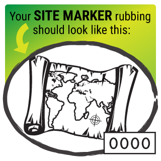
Clues for Your Hike
- Park in the parking area at the Park Office.
- From the parking area, head toward the road and carefully turn left on the road.
- Immediately after crossing the bridge, a sign for Midland Trail will be to your left. Turn left onto the trail going into the woods.
- Follow the gravel trail, which is marked with yellow blazes along the path.
- Cross the small bridge that crosses over the creek.
- At the end of the gravel path, turn left onto the paved path continuing to follow the yellow blazes.
- Cross the small bridge and then the larger bridge that follows the small bridge.
- After the large bridge, go down the stairs or ramp and stay left on the paved path.
- At the end of the paved path, turn right onto the gravel path.
- The pool area will be to your right.
- The post will be located on a tree to the left of the gravel trail past the pool area.
- Continue on the trail, keeping the creek to your right.
- At the brown A-T North sign, turn right and cross the bridge.
- At the fork in the path after the bridge, keep right.
- At the Y in the path, keep right.
- Turn right onto the dirt/grassy area with lots of picnic tables (this is not a trail).
- Continue straight through this area (the road will be to your left, and the creek and the pool area will be to your right).
- At the parking area, after passing the pool area, turn right to go over the bridge.
- After the bridge, take the first left into the woods and back onto Midland Trail.
- Follow the trail to the road.
- Turn right onto the road and carefully walk back to the parking area.
Did You Know?
- The first map to contain the name “America” was made by a German cartographer, in 1507. The US Library of Congress purchased it for $10 million in 2013.
- Maps have existed since the times of cave paintings. There is a map of stars that is believed to be approximately 16,500 years old.
- In the beginning of the 1930s, maps were given out for free in American gas stations, and the estimated number handed out was 8 billion.